A day in Perth, new home for the Stone of Destiny

Tags

, , , , , ,

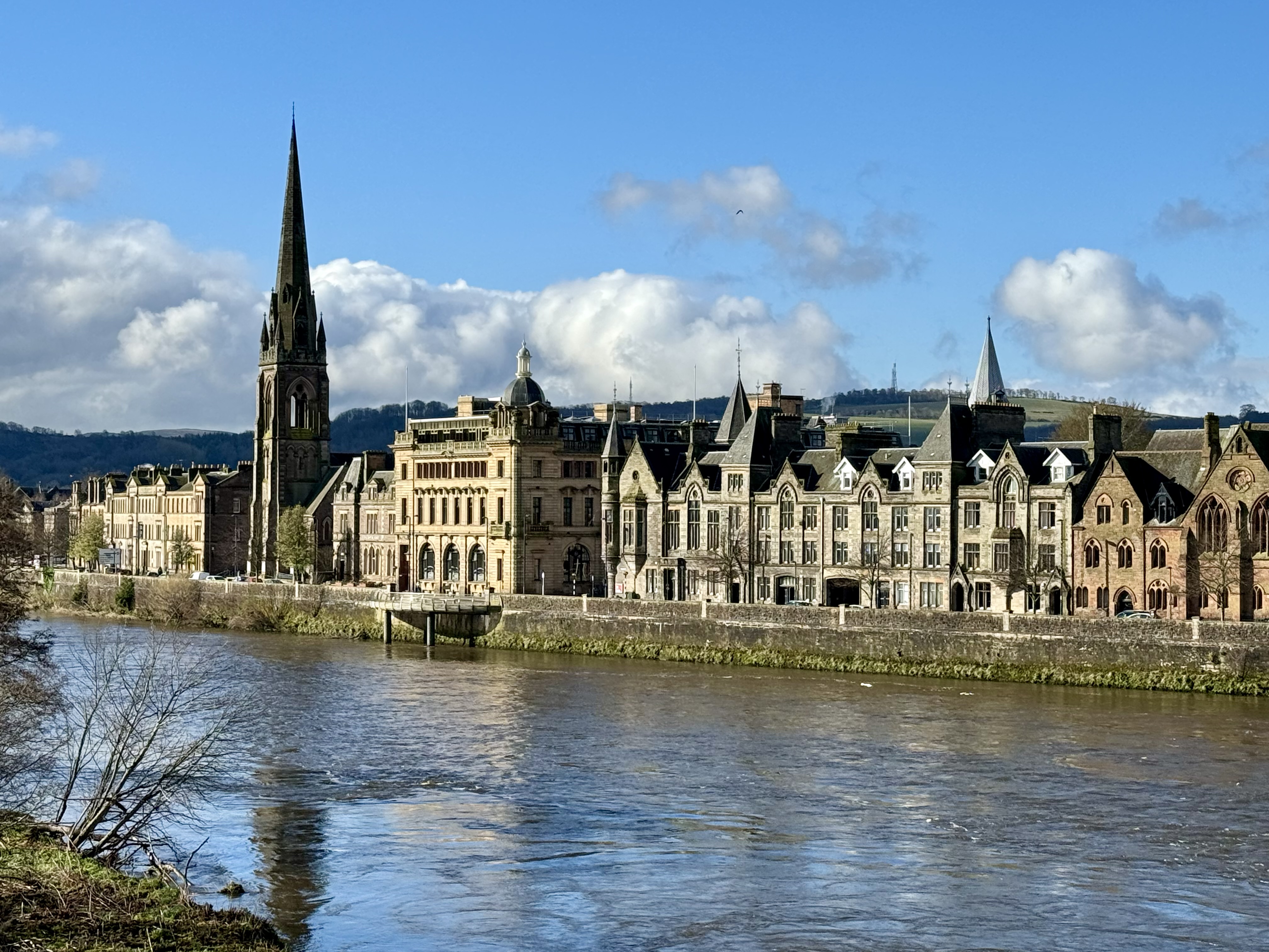
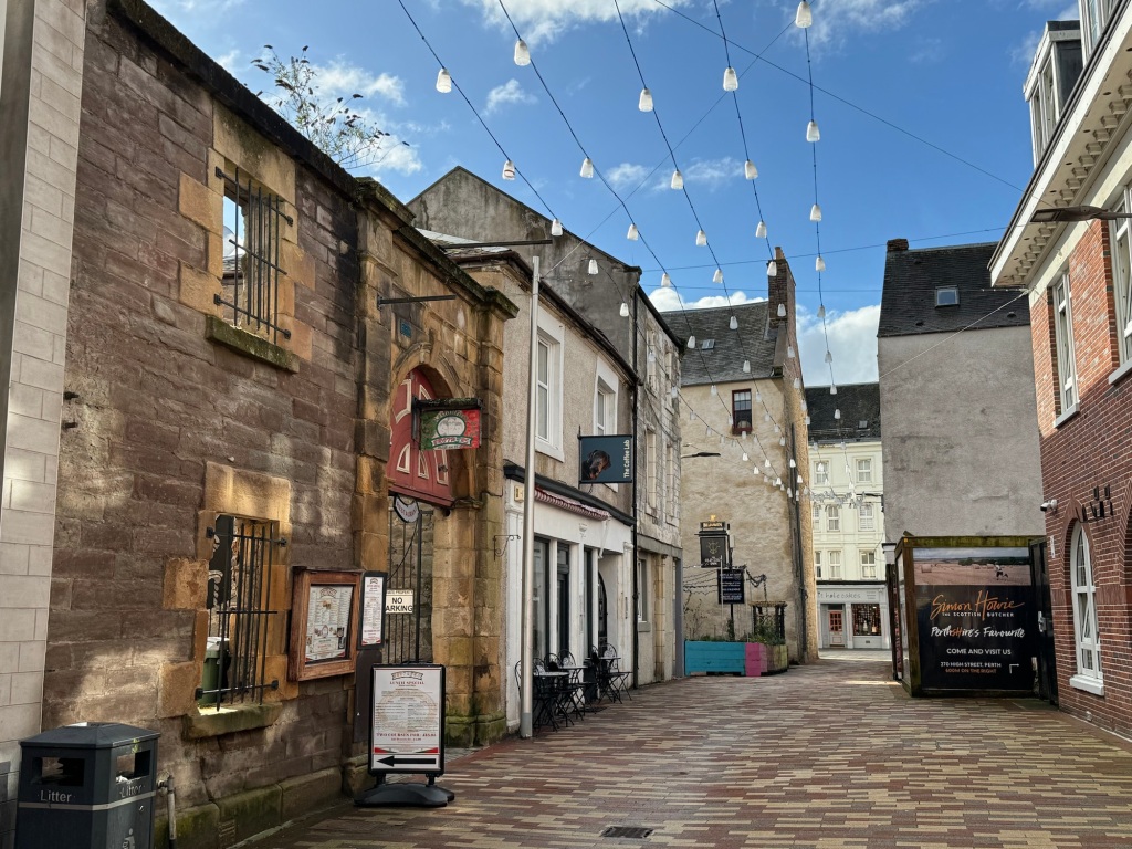
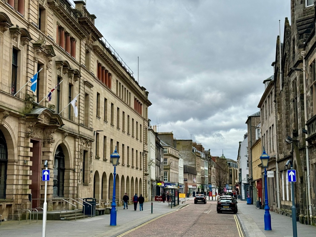
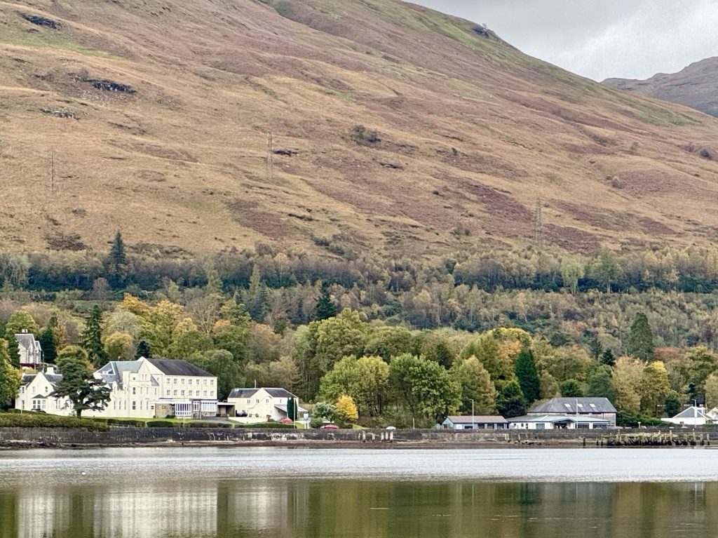
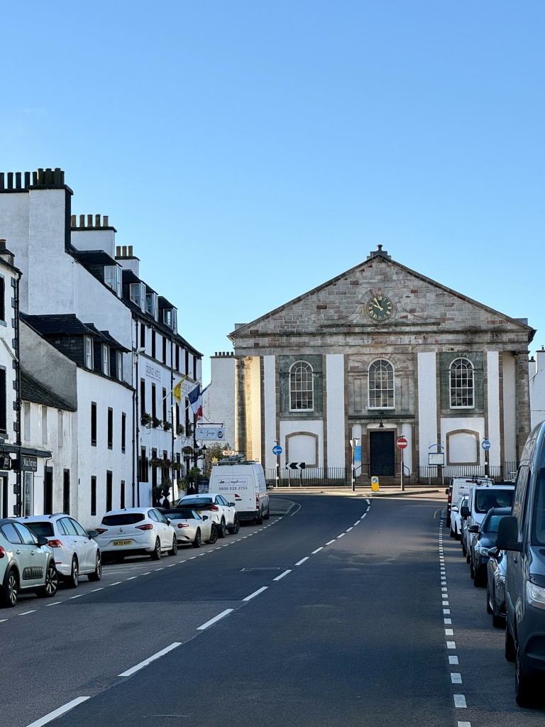
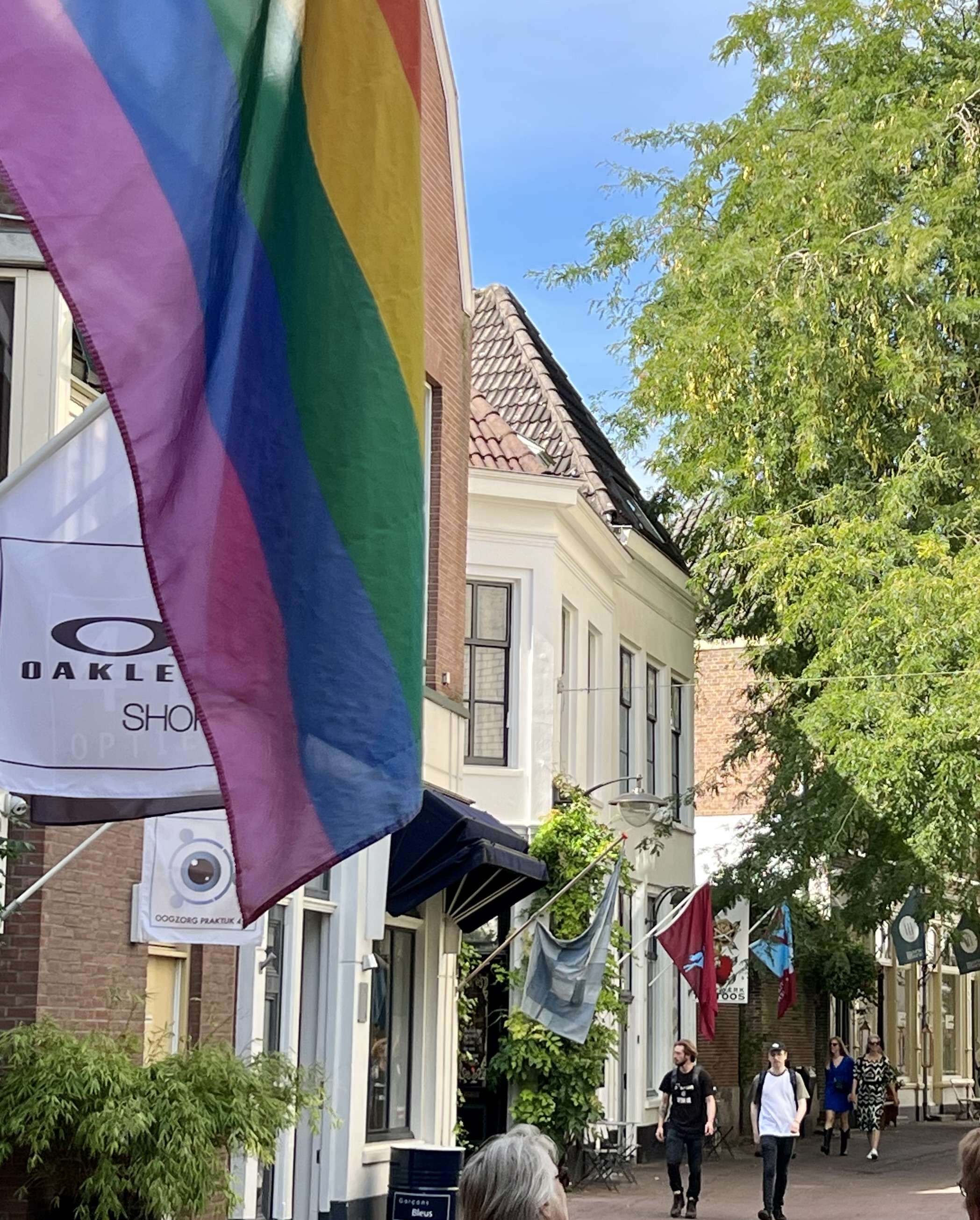
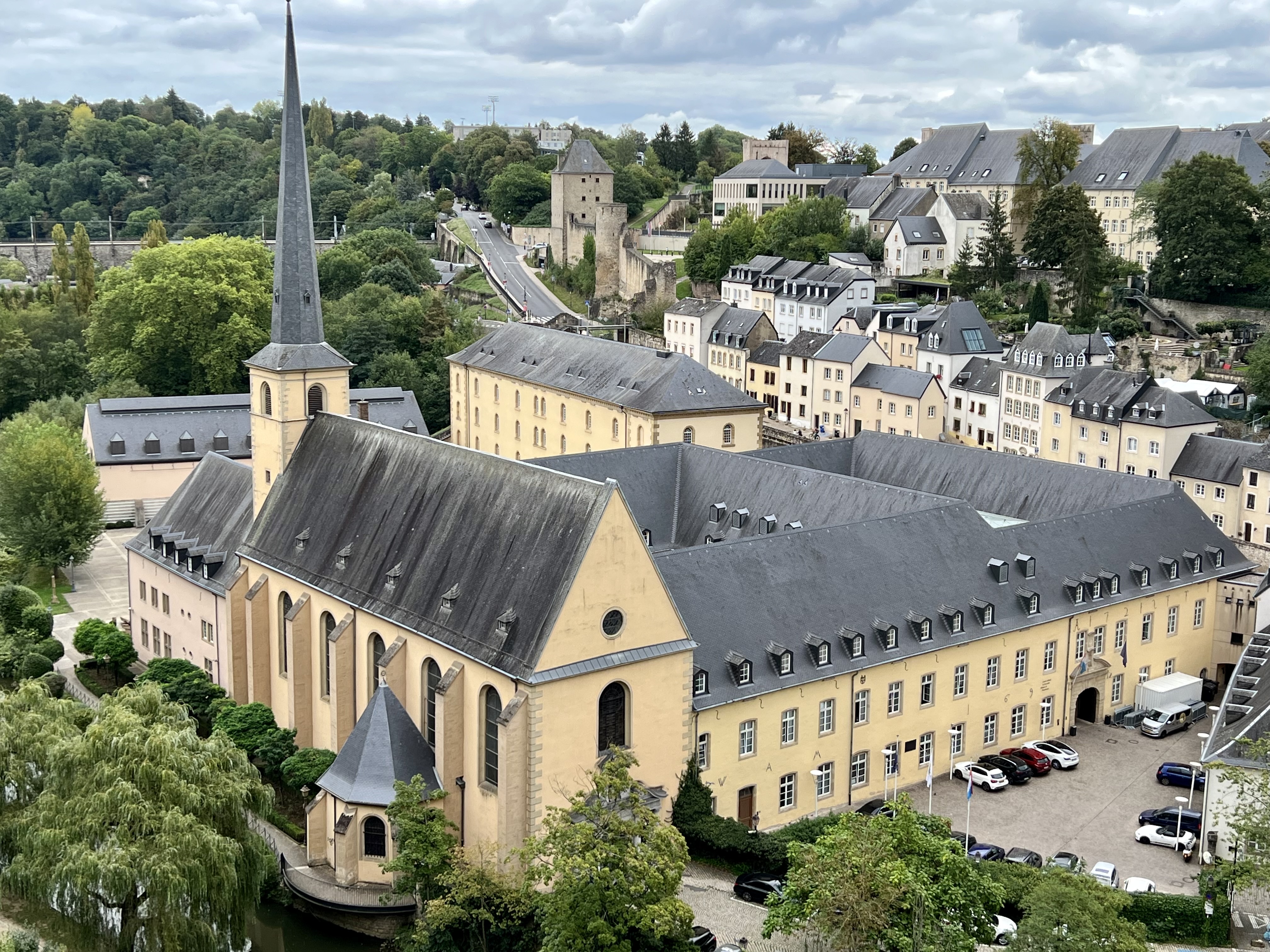
Earlier this month I had a short look around Perth, a city of some 47000 in the heart of Scotland.

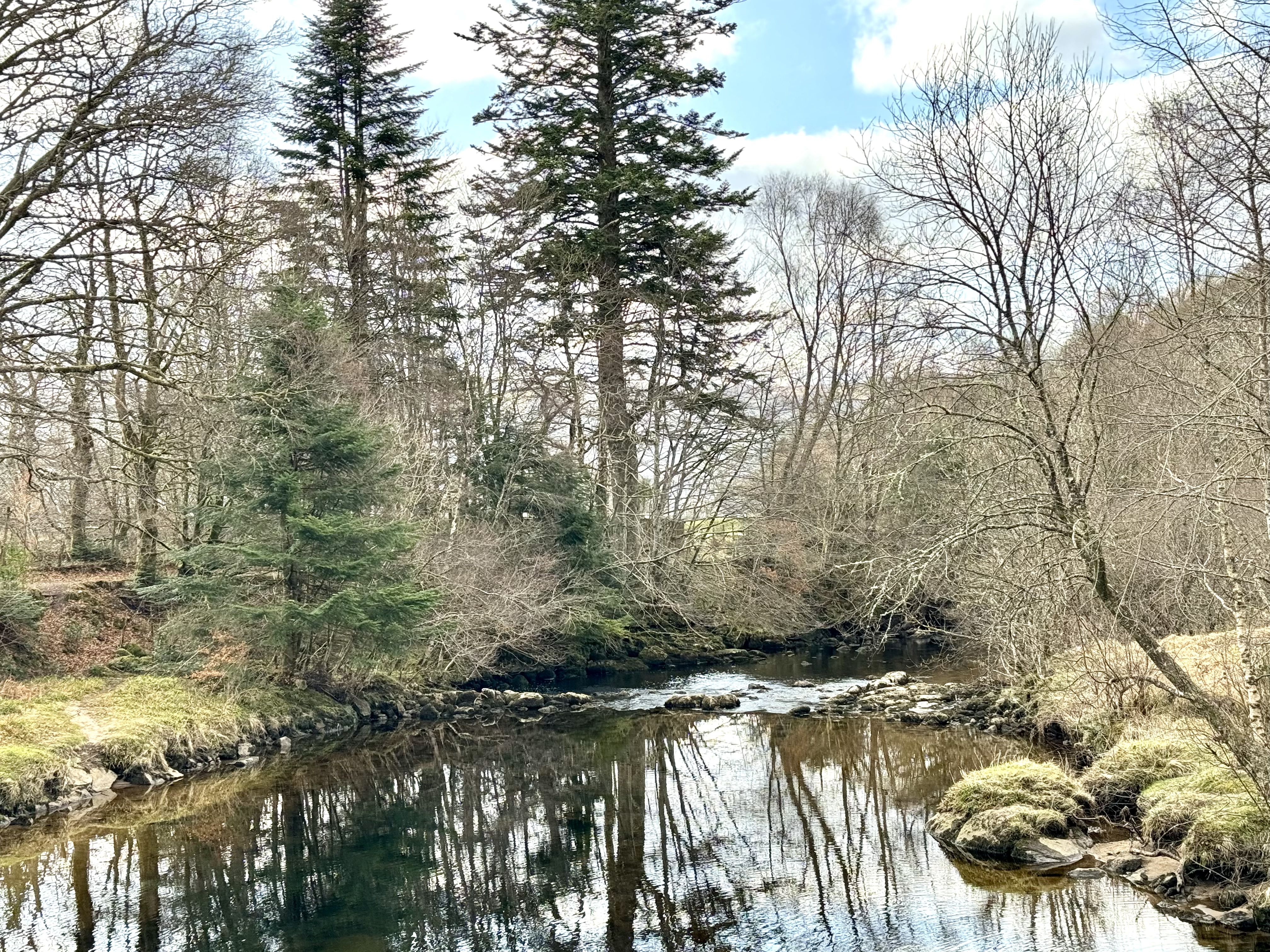
Perth has a rich history dating back some 800 years. But neolithic artifacts on display in the recently opened museum show that people have been living along the River Tay, Scotland’s longest river, for thousands of years.

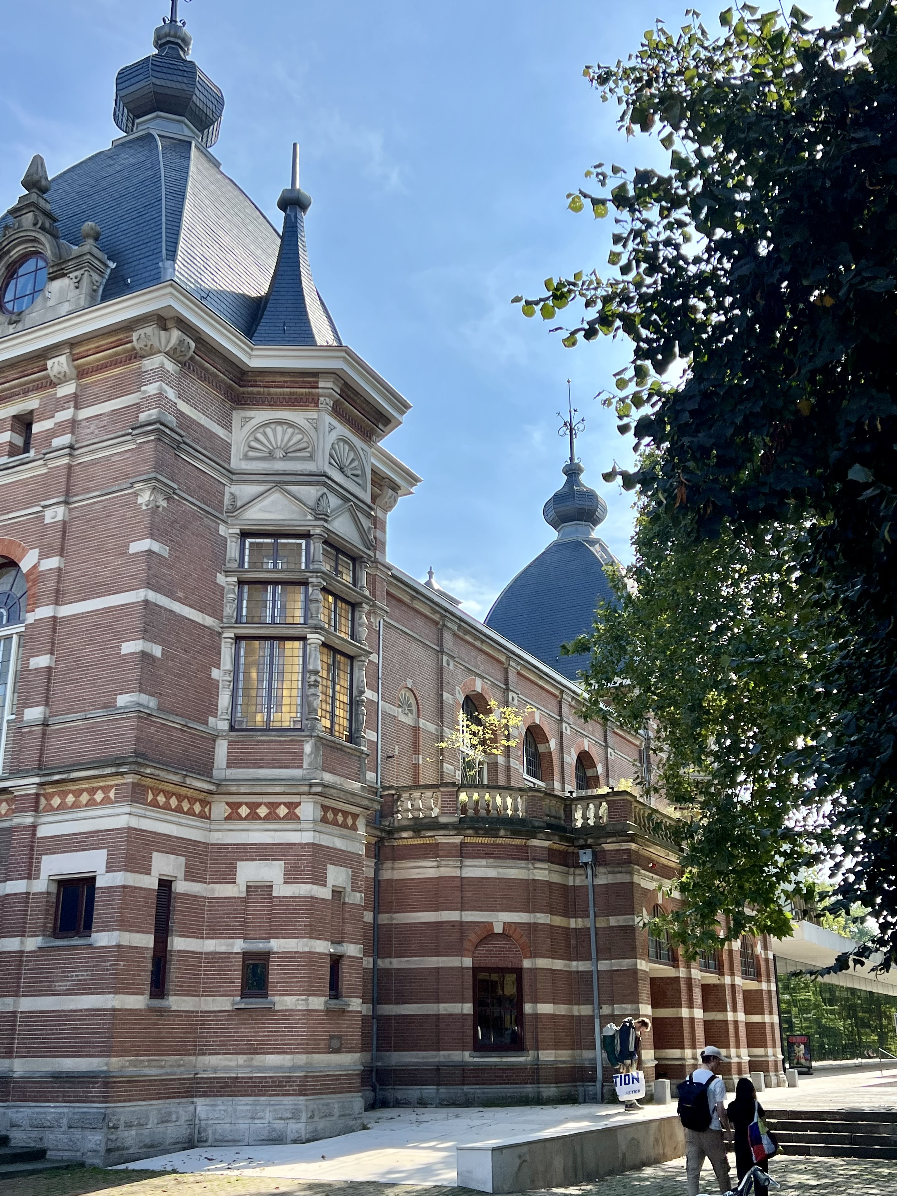
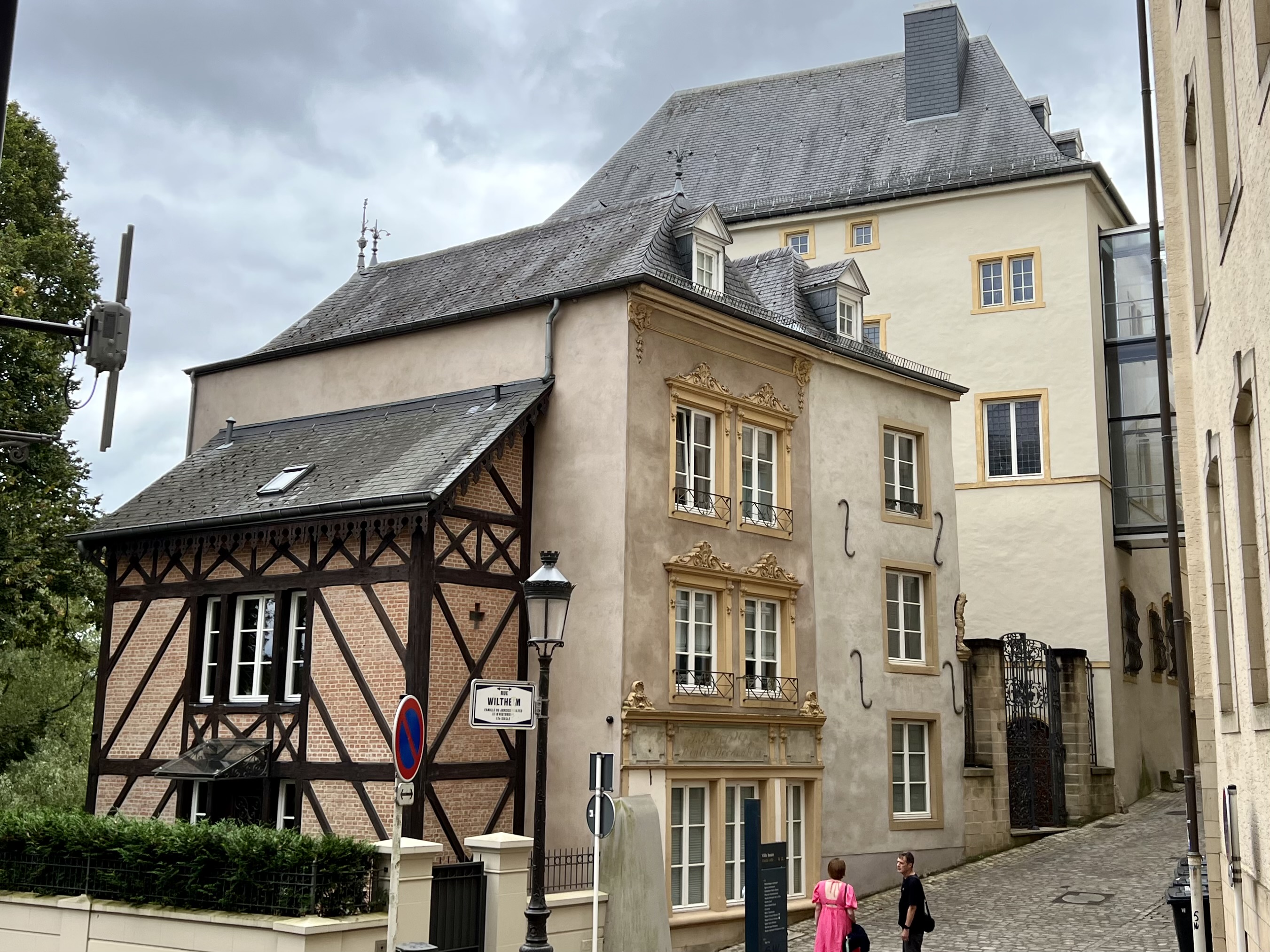
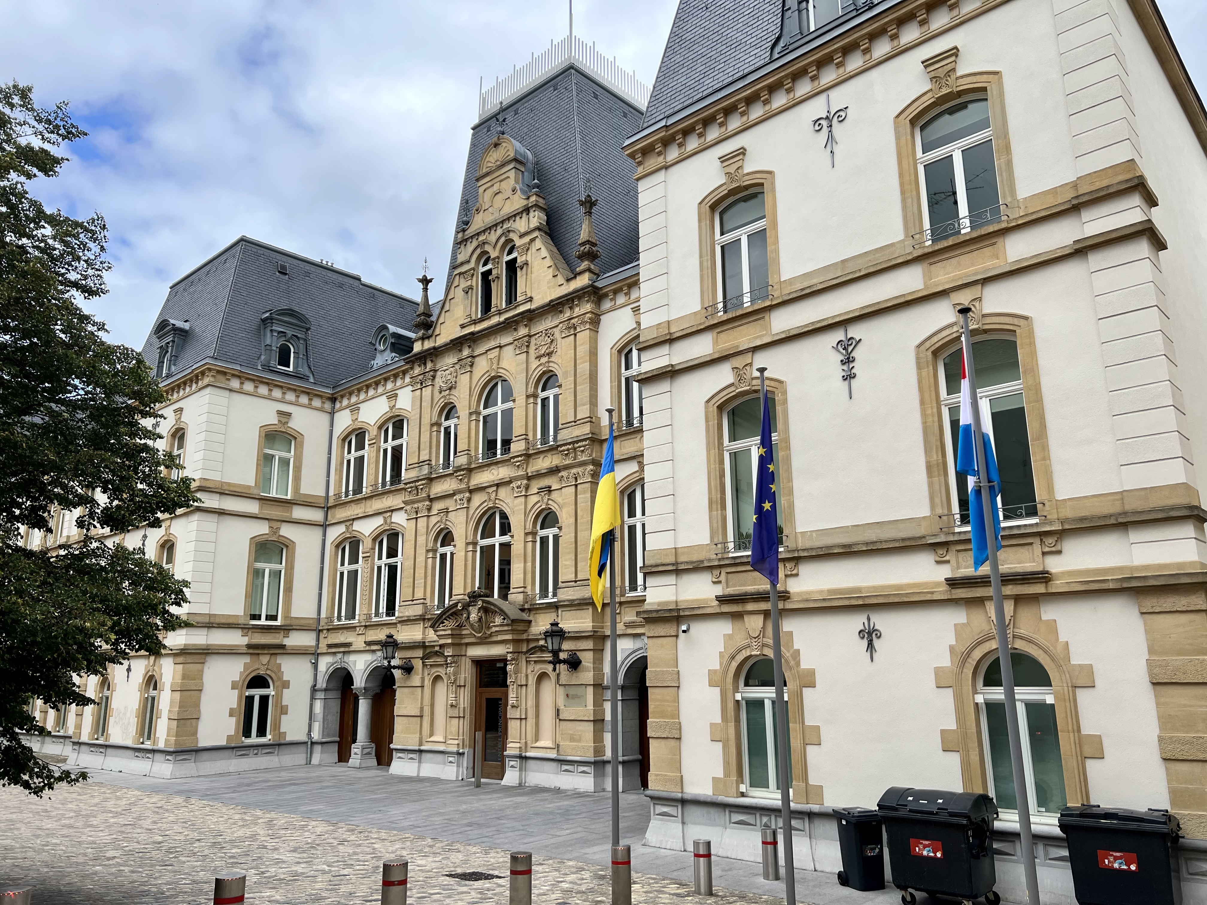
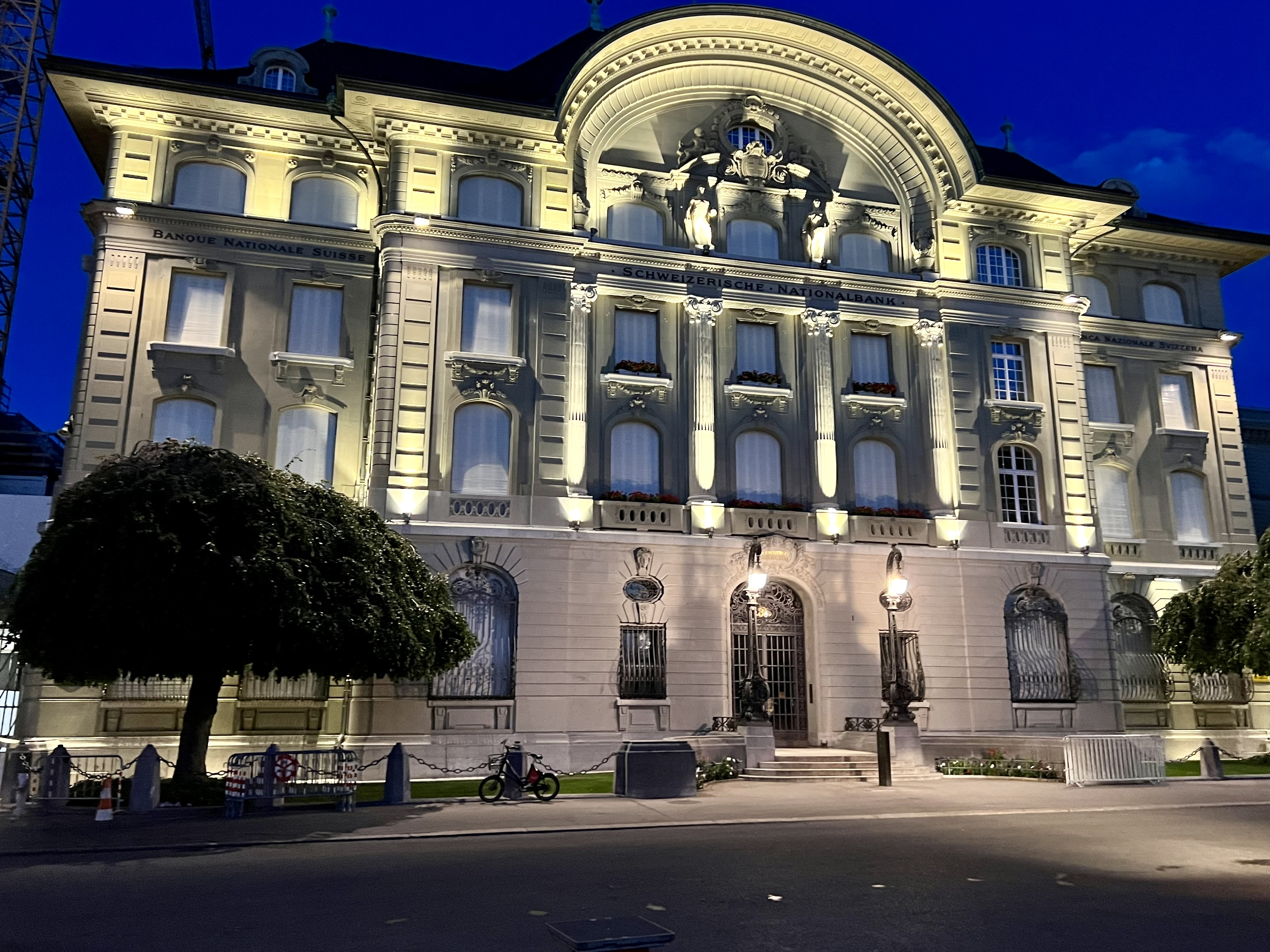
The museum building itself was once home to markets, concerts, political conferences and even wrestling matches. But it reopened as the museum after a recent £27 million redevelopment plan. Among its many historical exhibits is the Stone of Destiny (also known as the Stone of Scone).

This ancient symbol of Scotland, which has returned to Perthshire for the first time in 700 years, is a king-making stone that was used to inaugurate Scottish monarchs at Scone, 5km (3 miles) upriver from Perth. But it was taken as a spoil of war by King Edward 1 of England; and taken to Westminster Abbey in London where it has been used to crown English and then British monarchs up until the present day.

Perth Museum, which houses the Stone of Destiny

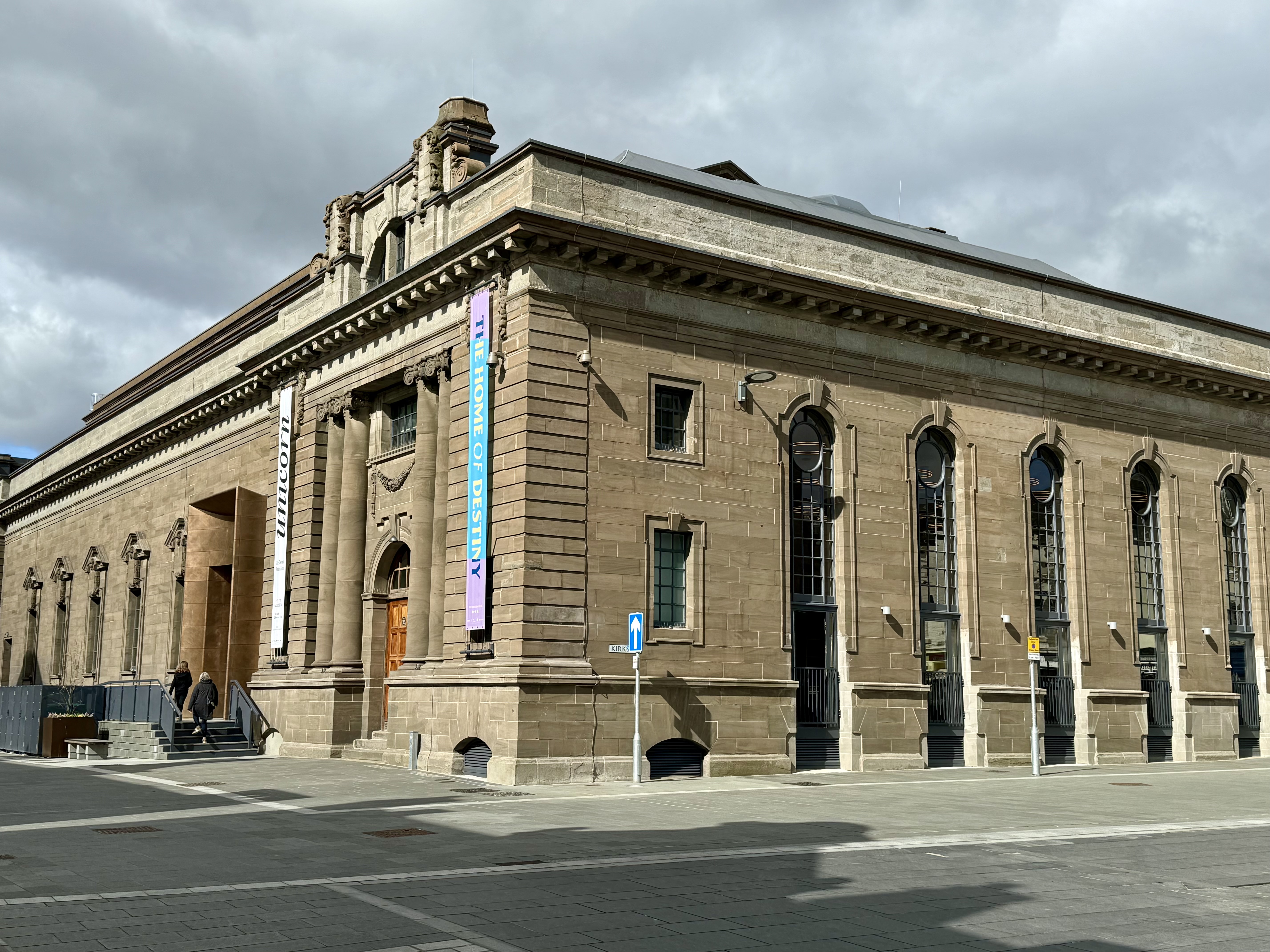
I spent a good few hours exploring the museum and learning about the history of the city, but was also lucky enough to obtain a ticket to see the Stone of Destiny. Photographs inside were not allowed, but the short presentation underlined the significance of the stone to the Scottish nation.

St. John’s Kirk

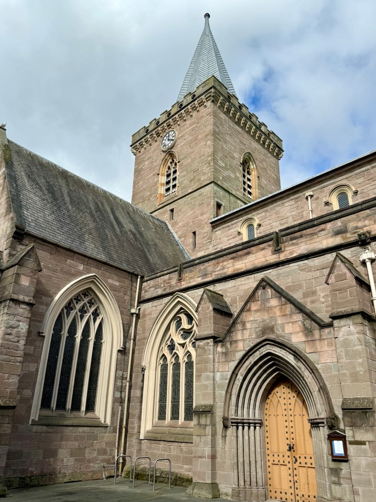
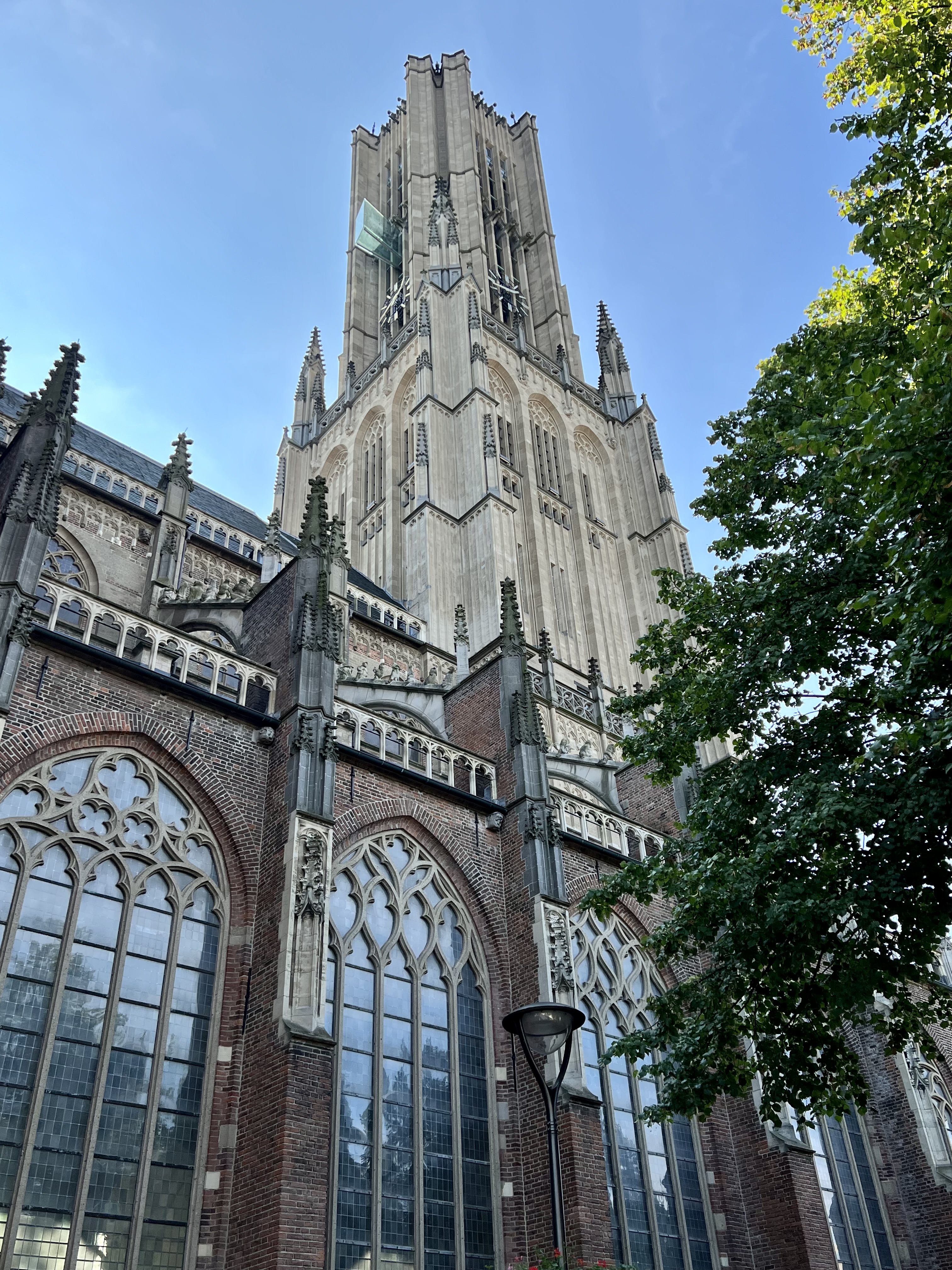
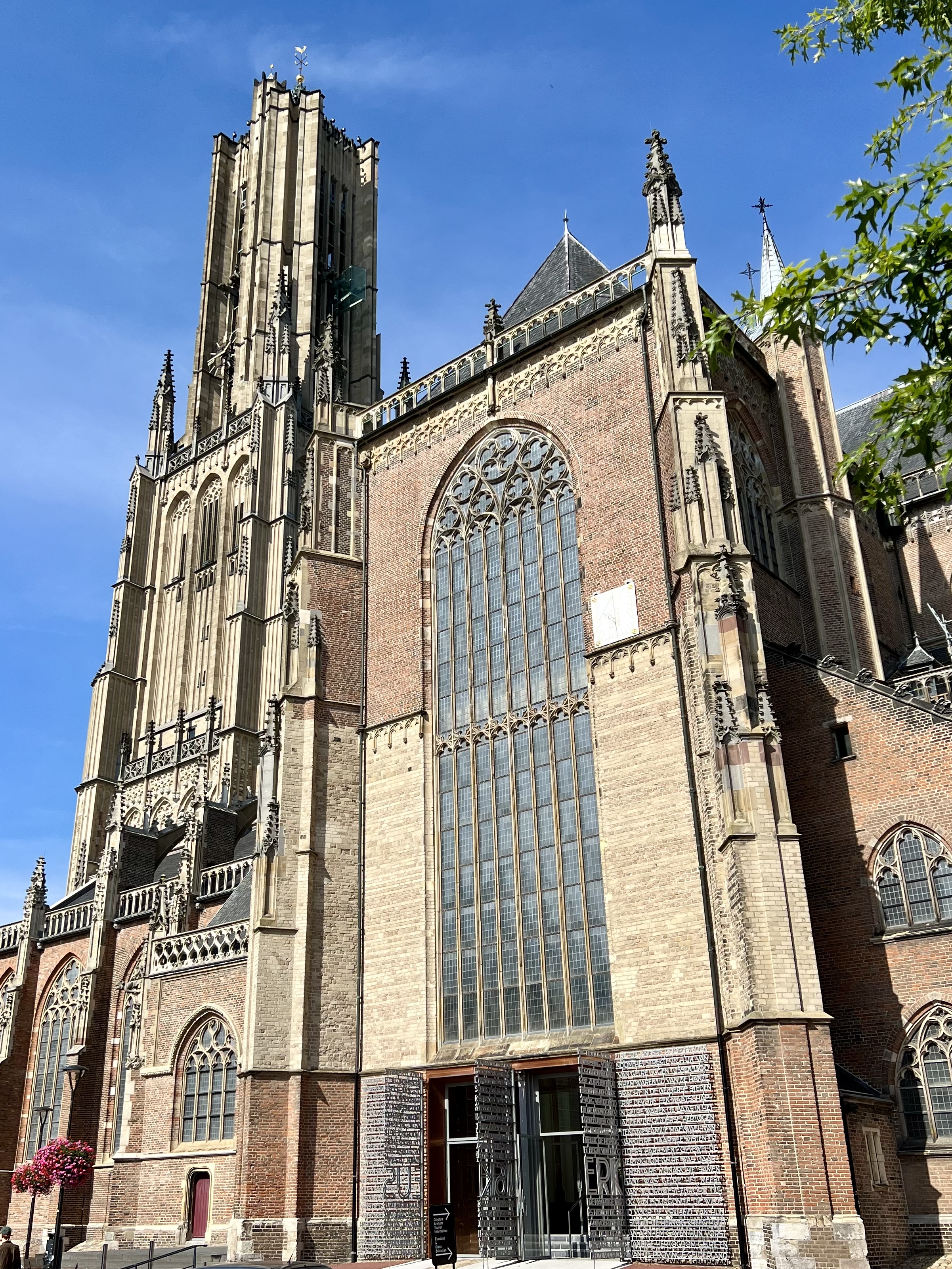
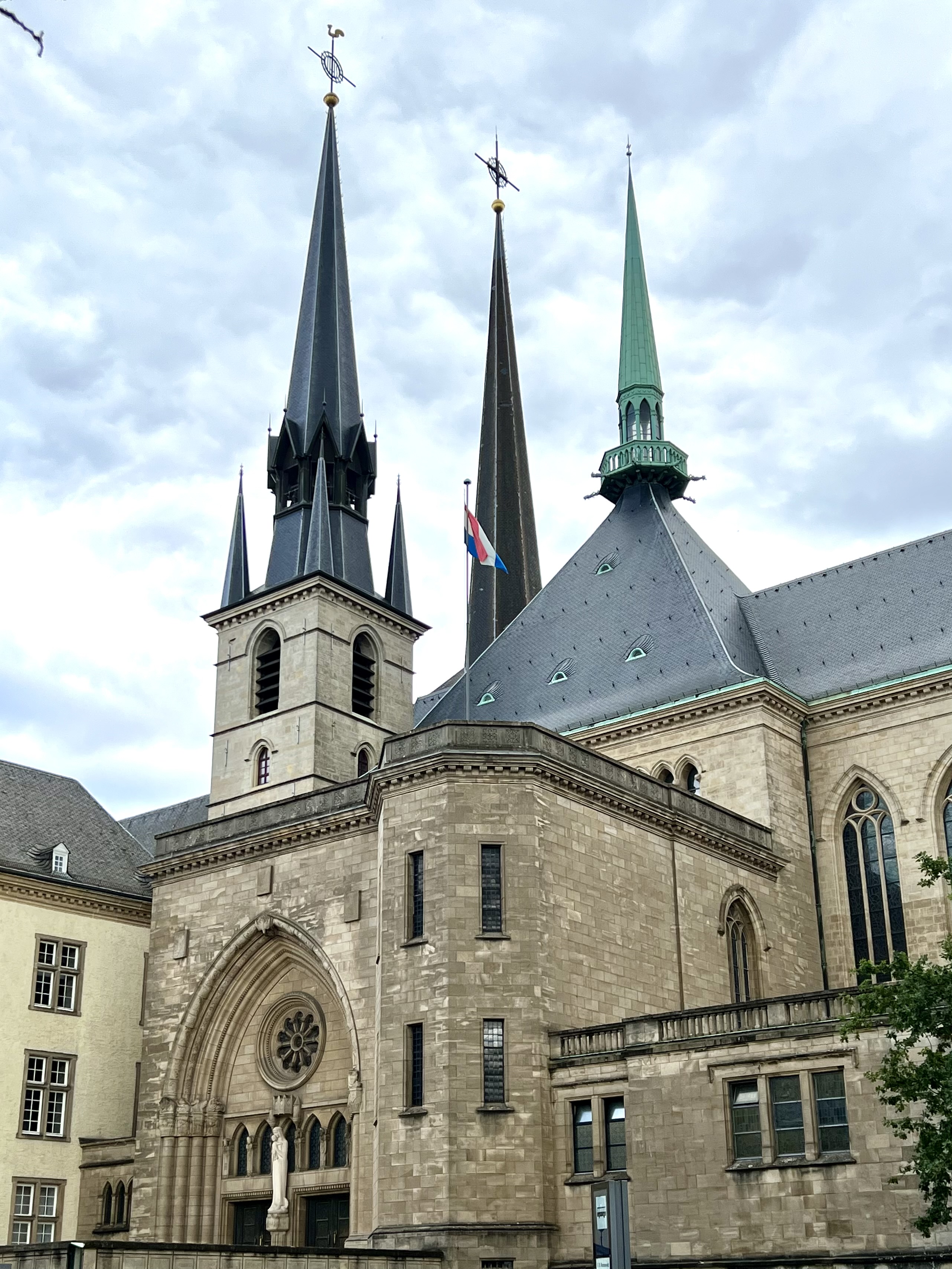
Next door to the museum is St. John’s Kirk. This old building dates from 1448 although and has an interesting history of its own, summarised aptly on the Kirk’s own website.

Main entrance to the Kirk

After another coffee stop I walked the short distance from the city centre to the art gallery (and former home of the museum). The gallery was interesting, highlighting a number of local artists but wasn’t quite my thing. They also hold lectures and other events but I was a day too early for the talk on Jacobite artefacts and clothing.

I’m sure there is much more to see in Perth, but it was getting cold as the day wore on and I had to meet Karon for our journey back to the Borders.

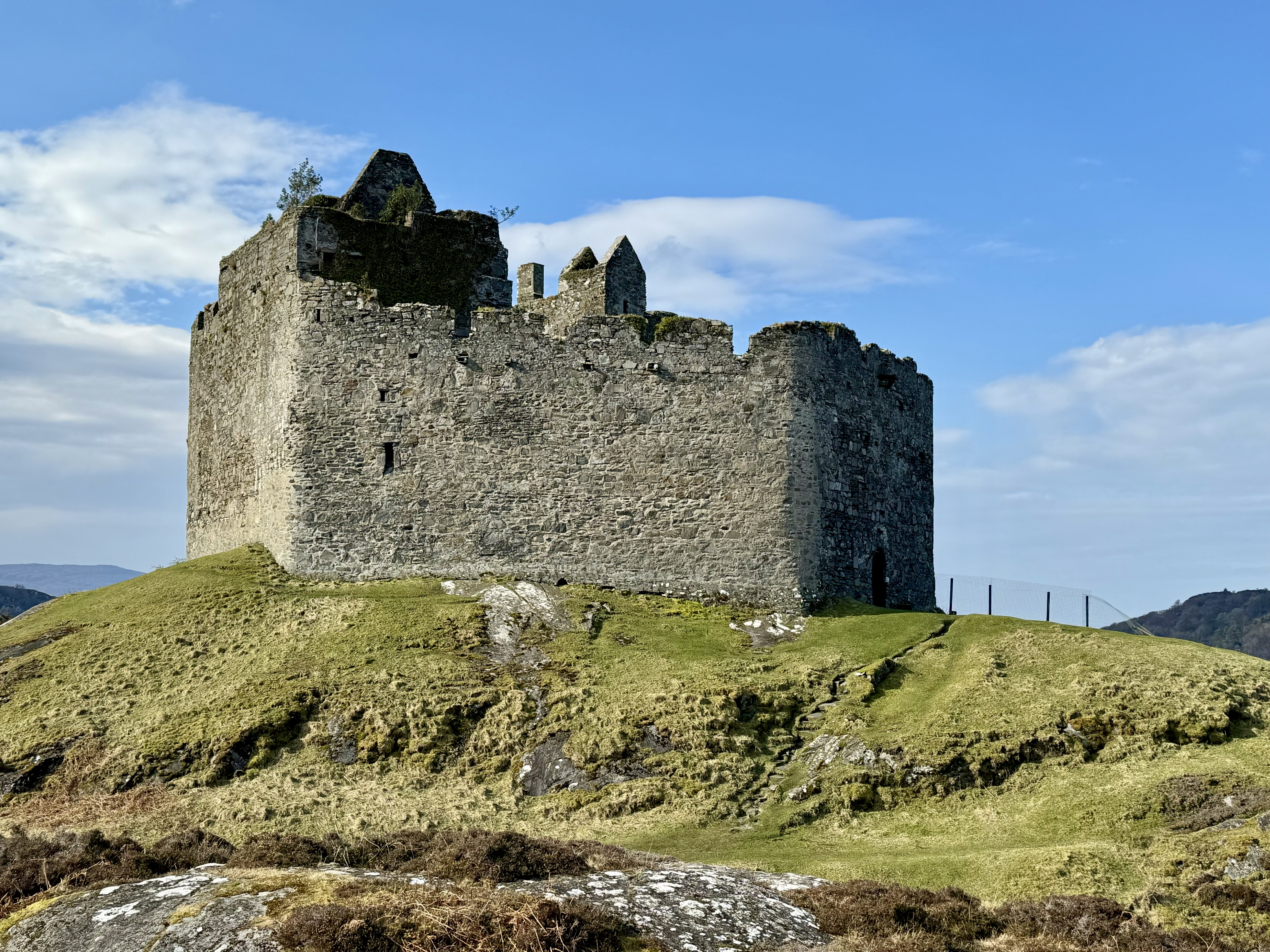
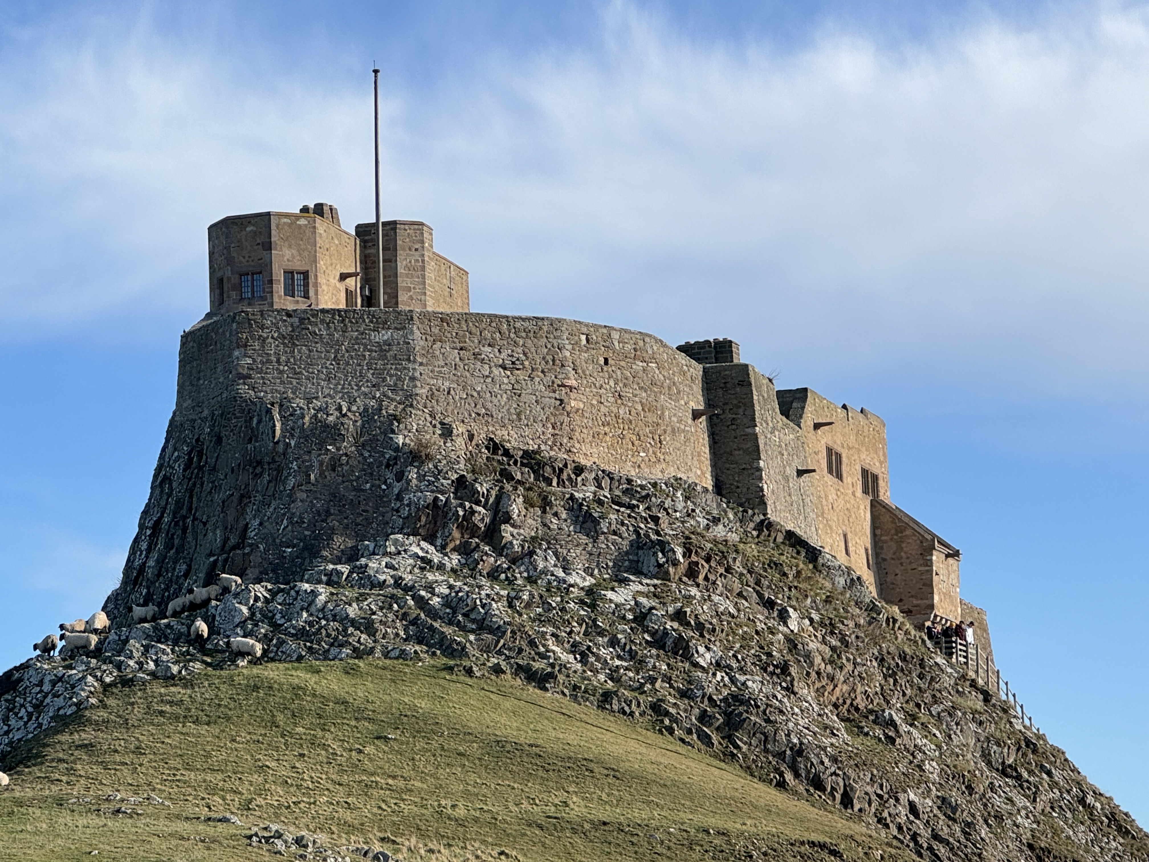
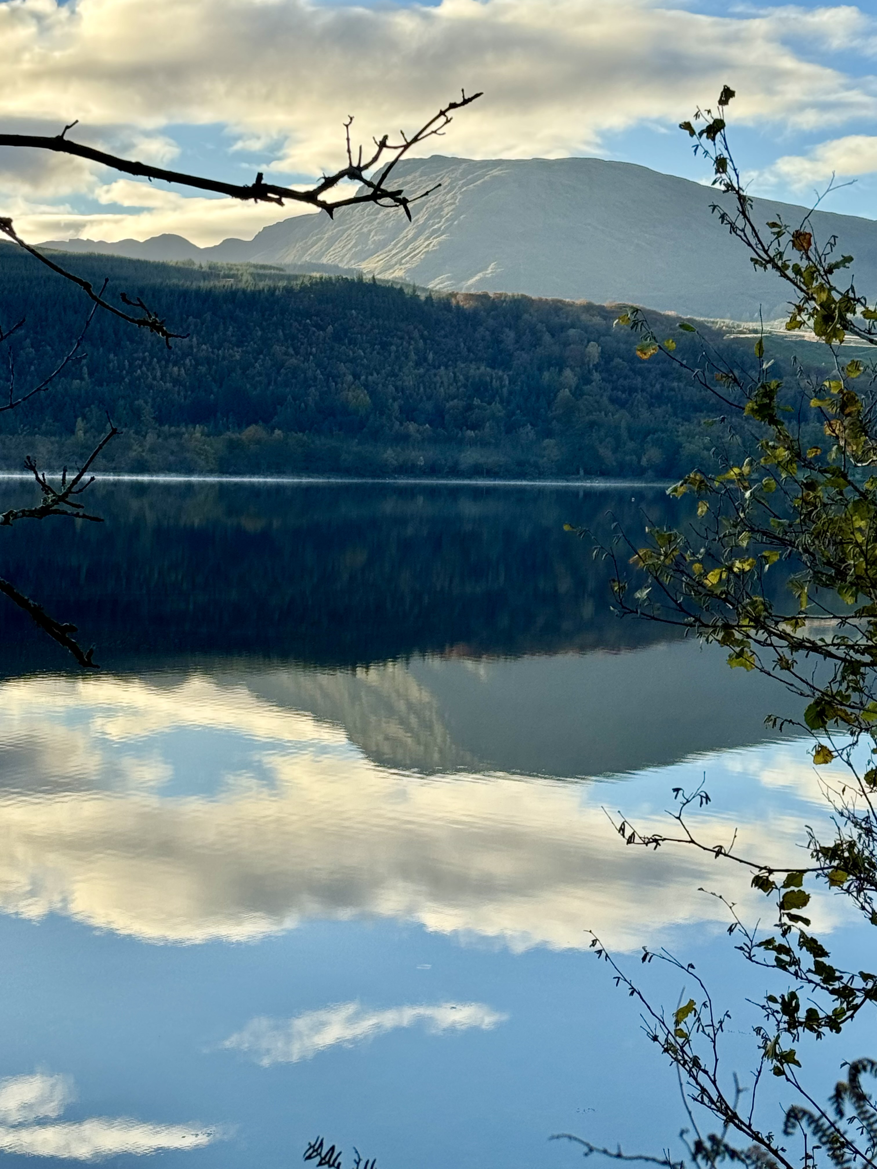
I’d certainly visit Perth again and perhaps get to see the nearby Palace of Scone, and to the south of the city, the famous Loch Leven and its castle.

One of Perth’s old streets
High street, viewed from the river

A visit to Lochaber in the Scottish Highlands

Tags

, , , , , ,

Tioram Castle ruins, set on island with sandy beach in foreground, and tree-covered hills behind
Tioram Castle, on a tidal island at the mouth of Loch Moidart.

From Glencoe we set off to our final destination of Strontian, a village on the northern shore of Loch Sunart in the heart of Lochaber. To save many miles of driving, we took the Corran ferry over Loch Linnhe and then followed the A861 along the side of the loch before turning west towards Strontian.

Ferry about to disembark cars. Steep hills and trees in background
The Corran Ferry

Strontian is a charming place, with some good facilities for a village of its size, including a secondary school and fire station. We stayed at a very comfortable and dog-friendly bed and breakfast at the entrance to the woodlands managed by Forestry and Land Scotland. As we were only staying a couple of days, we didn’t have time to see for ourselves, but we heard about some excellent walks through the ancient oaks.

river, reflecting the sky, with trees on either bank
The Strontian river which runs through the village

In the late 18th century, the village lent its name to the element strontium (atomic number is 38) when it was first discovered in the nearby lead mines. The element was named after the village by the renowned chemist Adair Crawford, making Strontian forever linked to the periodic table.

Once again, our limited time meant we were unable to visit the old Strontian Lead Mines which today provide a glimpse into the lives of those who once worked there.

view of the loch, with rocks and mountain.
Loch Sunart

Strontian is nestled between the loch, the woodlands and the rugged hills so exploring options are varied. We chose to head west along the northern shore of Loch Sunart and then up to Acharacle. Crossing the River Shiel (which flows from Loch Shiel) we followed a very rough road to a small car park facing Eilean Shona, an island separated from the mainland by a north and south channel.

The tide was out, giving us access to the smaller island at the mouth of Loch Moidart on which stood the ruins of Castle Tioram.

This 14th century castle became a seat of the MacDonalds of Clan Ranald. It was occupied until 1715 when, during the first Jacobite uprising, it was torched so that Hanoverian forces could not use it. Years earlier, misfortune fell upon some of the clan chiefs. Allan MacDonald, 4th Chief, was executed by James IV in 1509 after taking part in pillaging Atholl, and the 5th Chief, Ronald, was hanged in 1513. Dugald, 6th Chief, was assassinated, while Ian Moidartch, 8th Chief, was kidnapped and held in Edinburgh Castle in 1544.

We walked over to the island and were taken in not only by the castle itself, but by the stunning views of Loch Moidart and the south channel. Our dogs certainly had a good walk, enjoying the open space left by the receding tide.

Close up of castle ruins
View of loch, showing blue sea and sky, with tree lined mountain to the shore
Sand and seaweed left after tide has ebbed. Mountains in distance.
Top: Castle Tioram Middle: Loch Moidart Bottom: the south channel

After spending time with our dogs admiring Castle Tioram, Loch Moidart and the expanse of sand, we headed for our next destination. This was the coast north of the Moidart area with views across the blue waters of the Sound of Arisaig.

Descending towards the sea we were struck by its Mediterranean-like appearance under the glorious blue sky. We continued with a slow drive north eastwards, passing along Loch Allort until we reached the main road from Mallaig to Glenfinnan. Here we turned east and after a short stop at Loch Shiel, we picked up the single-track road that took us back to Corran. After that it was a case of retracing our route from day one when we arrived in Strontian.

Fishing vessel on deep blue sea, blue sky and a faint outline of mountains on the distant shore.
The Sound of Arisaig. (photo by Karon)
Blue water of loch, with hills in background and rocks in foreground
Loch Allort
Lighthouse on shore with washed out mountains in background and a yellowish sky
The lighthouse at Corran Point

With limited time, we didn’t get to travel any further west to Ardnamurchan, but we saw enough to appreciate the beauty, the diverse landscapes, and the tranquility of the Lochaber area. I feel certain we will return.

View of Loch Shiel, with steep hills either side, a gravel beach in the foreground and grey sky.
The head of Loch Shiel at Glenfinnan. By the time we arrived here the weather had turned.

(All photos by David unless stated)

Stunning, breathtaking…Glencoe

Tags

, , , , ,

two mountain peaks in Glencoe with a layer of snow near the top.

Last Friday we set off towards Scotland’s west coast. Our destination was Strontian, a village in Lochaber, west of Loch Linnhe. But our trip took us through the rugged and stunning scenery of Glencoe.

At this time of year, most of the peaks are snow covered, adding to their splendour. The highest peak is Bidean nam Bian. Its summit, also known as the “Peak of the Mountains”, reaches an elevation of 1,150 metres (3,773 feet). Close by is one of the most iconic mountains in Scotland, Buachaille Etive Mòr, situated at the entrance to Glencoe. It consists of two main peaks of 1022 metres and 956 metres.

Another view of a snow-capped mountain in Glencoe

We stopped a couple of times to take in the views before finally parking-up at the Glencoe visitor centre. Even here, with the benefit of some shelter from the cold wind, we didn’t dwell outdoors for too long. After a coffee and quick walk with our two dogs, we set off again on the road to our destination.

Hill and trees in foreground with mountain in distance

All photos of Glencoe by David except the one immediately above, which comes from Paul Edney on Pixabay

Our route took us past the village of Glencoe. This sleepy place (at least it is this time of year) has a memorial to a dark event that took place in winter 1692. The massacre of Glencoe resulted in the deaths of some 38 people at the hands of government troops, with more dying of exposure after fleeing into the mountains. The victims were members of the MacDonald clan who had been late in pledging their allegiance to the new monarchs, William and Mary. We visited the memorial a few years ago on a previous trip to Glencoe.

Celtic cross on a stone with writing.
Memorial to the victims of the Massacre of Glencoe (photo by David)

The Union Chain Bridge

Tags

, , , ,

view of the eastern side of the bridge, looking towards Scotland.

The Union Chain Bridge is an historic engineering marvel spanning the famous River Tweed. 

Nestled in the borderlands between Coldstream and Berwick-upon-Tweed, this iconic structure connects England with Scotland, and remains an important local landmark. 

It was originally designed for horse-drawn vehicles, facilitating trade and travel between the two nations during a period of rapid industrialisation. Today it can accept cars, but only one at a time.

A view across the bridge, showing the single land for cars

Constructed between 1819 and 1820, the Union Chain Bridge holds the distinction of being the world’s oldest operational suspension bridge still carrying road traffic. Designed by Captain Samuel Brown, a visionary engineer, the bridge was a revolutionary feat of engineering for its time. Stretching 137 metres (449 feet) across the river, it was a pioneering example of the suspension bridge design, utilising wrought iron chains to support the deck, a technique that would later inspire larger and more ambitious bridge projects around the globe.

The western side of the bridge, showing the Scottish Tower and the distinct chain links.

It is certainly a fascinating structure, and well worth a visit. We crossed the bridge back into Scotland after a trip to Berwick.

Enchanting Holy Island

Tags

, , ,

Photo of Lindisfarne Castle with stone beach in foreground

Tucked away along the rugged coast of Northumberland, Holy Island combines a fascinating history with stunning natural beauty. We made the 45-minute drive from our home in Scotland on a chilly, windy, yet mostly sunny day. Access to the island is via a tidal causeway, so it’s important to check the tide times beforehand.

The small harbour on Holy Island, with the Northumberland coast in the distance

Also known as Lindisfarne, Holy Island features picturesque beaches, vast salt marshes, and breathtaking views of Lindisfarne Castle perched on a rocky outcrop. We strolled over to the castle for a closer look, and although it now serves as a holiday destination, it still exudes the essence of a medieval fortress.

For history buffs, a visit to the ancient ruins of Lindisfarne Priory and its modern museum is a must. Here, you can discover the island’s role as a hub of Christian education and spirituality in the early medieval era. It was on this island that the renowned Lindisfarne Gospels, a prized illuminated manuscript from the early Middle Ages, were crafted.

ruins of lindisfarne priory: arches and walls, set against blue sky.
More ruins of lindisfarne priory: arches and walls, set against blue sky.
Ruined walls and sculpture in foreground
Photos above showing ruins of Lindisfarne priory. Bottom picture shows a sculpture depicting St. Cuthbert.

Despite appearing busy, there was a peaceful ambiance as we wandered through the quaint village streets, lined with charming cottages and specialty shops offering local goods and treats. Whether this tranquility persists during the busy summer months remains to be seen, but we felt fortunate with our timing.

Photo of Lindisfarne Castle
Lindisfarne Castle


Nature lovers will be enchanted by the island’s diverse ecosystem, providing opportunities for birdwatching and wildlife observation in its mostly untouched surroundings. The Holy Island Nature Reserve, with its varied habitats ranging from mudflats to dunes, showcases the island’s ecological diversity.

Another view of the priory, taken from the other side of the harbour.

As an escape from the modern world, Holy Island stands as a haven for those seeking a deeper connection with nature and history. But even if that isn’t your thing, it’s beauty and charm make it a destination worth exploring.

The sea separating Holy island from the Northumberland coast.
Looking south west towards the Northumberland coast

Arrochar and the lochs

Tags

, ,

View across Loch to hill rising above shore, covered with pine trees.
The view from our apartment

Last week I spent a couple of days exploring the lochs around the small village of Arrochar.

Arrochar is situated on the eastern shore of Loch Long, and in the summer it’s a popular base for walkers. But in late October it is very quiet, ideal for a restful break with my dad.

View of buildings at base of step hill, overlooking loch
View down the loch with dark hills either side
Images of Loch Long

Loch Long is tidal and yes, very long, ending in the Firth of Clyde. After a drive from the very top, and down the eastern side to Garelochhead (as the name suggests, at the head of Loch Gare) we then cut across to Loch Lomond.

colourful paddle boats moored on loch, with distant hills and low cloud.
Loch Lomond

By the time we arrived in the small village of Luss, the weather was closing in. We had a lunch outside a local store and then took a leisurely wander down to the loch. Despite the time of year I was struck by how busy it seemed. Indeed, it must be positively crowded in the summer.

Sadly, the rain was starting to fall so we escaped to the car and decided on a drive north along the loch side.

Leisure boat on the loch, near shore of trees on steep hillside.
House in foreground, surrounded by trees, with steep brown hill dominating the background.
view of loch with small tree-laden island in foreground.
Above: images from Loch Lomond

Loch Lomond is one of Scotland’s largest. It is some 36 kilometres in length (22 miles) and 8km (5 miles) across at its widest. By surface area it is the largest freshwater lake in Scotland and England. However, by volume it is easily surpassed by Loch Ness.

Overlooked by Ben Lomond, the loch sits in some beautiful countryside; and gives its name to the Loch Lomond and Trossachs National Park. It is a premier boating loch but also hosts a hydroelectric power station on its West Bank at Inverlugus.

White faced buildings lining the street overlooking the loch, below grey sky.
Inveraray

On our final day we visited the small town of Inveraray. Situated on Loch Fyne, the distinctive white buildings were looking vibrant under the morning sun, but as the morning progressed, the weather turned once again. What started as a bright crisp day was fading under a cold and grey sky with the promise of rain to follow.

We had debated whether or not to visit the castle at Inveraray but as it was closed, the decision was made for us. So we explored the high street, stopping for coffee and also buying some tablet (a Scottish sweet similar to fudge) from an old-fashioned sweet shop.

Sadly, the cold was taking its toll so we returned to the car before heading back to Arrochar. By the time we left there for the long drive back to the Borders, the rain had arrived. It had turned into a dreich day.

close-up of white buildings on high street, with blue sky.
Looking up the high street towards the town hall, below a clear blue sky.
Inveraray before the clouds and grey sky
Blue sky reflected on the surface of the loch. with hills in background.
Loch Fyne

Arnhem

Tags

, ,

photo of the John Frost Bridge over the River Rhine.
The John Frost Bridge

The final stop on our European tour was The Netherlands. We stayed for two nights in a house on a holiday park, near to Ewijk in the province of Gelderland. However, with on-site facilities aimed more at young families, and with the nearby town of Beuningen lacking appeal, we chose to explore further afield.

The historic town of Arnhem is located in the eastern part of the Netherlands, near the German border. Known for its rich history and picturesque landscapes, Arnhem attracts visitors from all over the world.

Castle style gateway into a square near the cathedral

One of the main attractions in Arnhem is the famous Arnhem Bridge, also known as the John Frost Bridge. The original bridge at this site gained international recognition during World War II as it was a key strategic point in the Battle of Arnhem, depicted in the movie “A Bridge Too Far”. Today, visitors can walk across the current bridge (built just after the war) and learn about its historical significance. We visited the town a day before the anniversary of the battle, and to commemorate the event, many streets were flying banners saying “Airborne Arnhem”.

typical street, with small shops flying Pride and other flags.

Perhaps as a result of damage during the war, Arnhem is a mix of old and modern buildings. But the place still manages to exude character; and we enjoyed a very pleasant stroll around the centre. Highlights for us were the narrow streets, the impressive cathedral, and of course the John Frost Bridge.

Arnhem cathedral, showing large glass windows and detailed stonemasonry.
The cathedral

Arnhem is certainly vibrant, with plenty of shoppers and people on bicycles. The city centre is filled with a mix of well-known international brands and unique local boutiques; and the streets are lined with charming cafes and restaurants, offering a variety of cuisines .

Unfortunately, we didn’t make it to the Openluchtmuseum, an open-air museum that showcases the traditional Dutch way of life. Nor did we venture into the surrounding countryside. But we did enjoy visiting Arnhem and would certainly recommend to others.

Another turreted building in Arnhem
Another view of the cathedral
Water fountains in front of a church.
Above: More images of Arnhem

Luxembourg: heart of the European Union

Tags

,

The Grund

The fifth and penultimate stage of our European tour was Grand Duchy of Luxembourg.

This small country has a population of only 661,000, just over half of who are from Luxembourg itself. Its own language is Luxembourgish, but it also recognises French and German officially. However, in the city you can hear all sorts of different languages spoken. Despite the country’s size, it is an important and founding member of the European Union and is home to a number of European institutions.

Our first full day saw us take the bus into the city. Remarkably, public transport within the Duchy is completely free, and has been since 2020. Even so, there are major European routes that come through the city so traffic is still very busy, particularly with so many commuters from across the border in France, Belgium and Germany.

The city of Luxembourg is a mixture of old and new. We wandered through its large shopping area and spotted lots of famous stores and designer brands. We also saw many modern office blocks housing various businesses including quite a few banks. But fortunately for the tourist, there is also an older and more historical side to Luxembourg.

Indeed, a Luxembourg city highlight is the historic Old Town, known as the Grund, which is a UNESCO World Heritage site. Although we took in the area from the old city walls above, we were still able to admire the beautiful architecture and cobbled streets. From our vantage point above Grund, the more adventurous visitor can explore the casemates and underground tunnels that were once part of the city’s fortifications. We had been walking for some time at this point so decided against this (and we weren’t sure if our dogs would be happy going underground!)

The city is also known for its vibrant food scene, with a wide range of restaurants offering both traditional Luxembourgish cuisine and international dishes. During our stay, we found two very different but interesting cafés. We also had an excellent meal in a restaurant just below the apartment block in which we were staying. Not only did they do some amazing vegetarian dishes but they were dog-friendly too.

Outside of the city, Luxembourg offers small villages, farmland, forests, hills and a considerable number of castles. Heading towards one such castle we drove through some newer villages with smart streets of large but different-looking houses coloured in pastel shades. There were also good local facilities in these villages including play parks and sports fields.

But it was the older villages with their castles that were the main attraction. We managed to see four in one afternoon, even if only to take photographs and admire the scenery. Although not as hot as Verona and Bern, it was still very warm in Luxembourg, so cold drinks and water for our dogs were needed regularly.

Above: Images from Luxembourg

The Swiss Capital

Tags

, ,

Tall Swiss style building with tress in background

The fourth leg of our European Road trip was spent in Bern, Switzerland.

Bern is a compact city that is easy to see on foot. We were pleasantly surprised to find so few cars, testimony we presume to the excellent tram and bus network.

Visitors to the Swiss capital can enjoy a variety of activities and attractions of which a highlight for us was the Old Town. This is a UNESCO World Heritage site and is known for its well-preserved medieval architecture and the famous Zytglogge (Clock Tower). We spent quite some time exploring the streets and admiring the buildings and many fountains.

Clocktower and associated building showing ornate details
close-up of the astrological details in one of the clock faces
Above photos: The famous Zytglogge (Clock Tower)

Another key site is the Bern Cathedral. Also known as Berner Münster, this impressive Gothic cathedral is the tallest cathedral in Switzerland. We didn’t venture inside but it was certainly elegant from the outside.

light from the low sun making the cathedral spin looks yellow against the darker house in the foreground.
Bern’s cathedral standing proud over the city

The Bundeshaus (Federal Palace) is the seat of the Swiss government. It is possible take a tour and learn about Switzerland’s political system, but we were happy just to photograph this stunning and important building. In fact, you can walk around the outside quite easily as there is no fencing or other restrictions.

The ornate and rounded facade of the  Swiss parliament building, sitting atop a  high brick wall overlooking the river valley.
Switzerland’s impressive parliament building.

Because it was so hot (10 °C above normal) we took a walk in one of the parks alongside the River Aare. The river flows through the city, and much to our surprise, we saw a number of locals floating downstream, chatting as they went. It looked great fun and is apparently a common activity in the summer. Clearly the water must be free of pollution, unlike almost every river in England.

A sunny photo of the river running through the centre of Bern. The water looks a bright green/blue colour.
The river Aare winds its way through the centre of Bern

Unfortunately, we didn’t get to see everything Bern has to offer, including Bern’s bears, its museums, and Einstein House. But we did enjoy some fantastic vegetarian and vegan food in an excellent dog-friendly restaurant. So good it was worthy of two visits.

Our accommodation was a few kilometres out of the city centre and in a residential area. Although well decorated and very clean, we found it a bit small for the two of us and our dogs. It was literally just a small kitchen, bathroom and bedroom (into which so much furniture had been placed that we couldn’t move without tripping over things). But the previously mentioned tram network made getting around the city very easy with the added bonus that tourists with a Bern pass get to travel for free.

We were only in Bern a couple of days, but if you’re interested in history, culture, nature, or simply enjoying the charm of the city, Bern has something for everyone. It certainly isn’t a place for small budgets, but it is clean, friendly and everyone we met spoke perfect English.

The square in front of the parliament building, showing the typical architecture of the buildings
a street of attractive buildings, looking uphill as it bends around a corner.
The statute in front of a grand government building, surrounded by a cobbled area.
Another ornate building in the parliament square with a large arch at the top, lit up at night.
One of the many fountains in Bern with a strange black statute of an ancient warrior wearing a gold coloured face plate.
More images of Bern above.

Lake Garda

Tags

, , , ,

Being only about 35 minutes from Verona by car, we squeezed in two visits to Lake Garda.

Lake Garda is a stunning destination located in northern Italy. It is the largest lake in the country and is surrounded by picturesque towns and breathtaking landscapes. As a popular tourist destination, it attracts visitors from all over the world.

One of the main attractions of Lake Garda is its crystal-clear waters, which are perfect for swimming, sailing, and other water activities. The lake is also surrounded by beautiful beaches, where visitors can relax and soak up the sun. This was certainly the case in Bardolino which with all its holiday accommodation seemed completely geared up for tourists. Certainly we saw many people sunbathing or enjoying a swim. To get out of the heat of the day we took refuge in a hotel and enjoyed some cool lemonade.

Bardolino

The towns around Lake Garda are full of charm and character. We never quite made it to Sirmione, known for its medieval castle and thermal baths. But we did visit Lazise and Peschiera del Garda.

Above: Peschiera

Both towns were similar in atmosphere and style, although Peschiera is the bigger of the two. There were plenty of old buildings, restaurants and bars, and each had its own harbour. During the evening in Peschiera, it was apparent just how much of the lake’s shore has been developed, as there were lights surrounding the lake for as far as the eye could see.

Photos above: Lazise

Although by no means a quiet location, Lake Garda looked very interesting and we do plan to return at some point in the future.